Protected Lands: Hawaiʻi Island
Honu‘apo, Kīʻolokū, Kaʻū
Size: 877 acres
Year Protected: 2010
Land Protection Strategy: HILT Conservation Easement
Conservation Values: Conservation and restricted agriculture
Land Features: Grassland, native forest

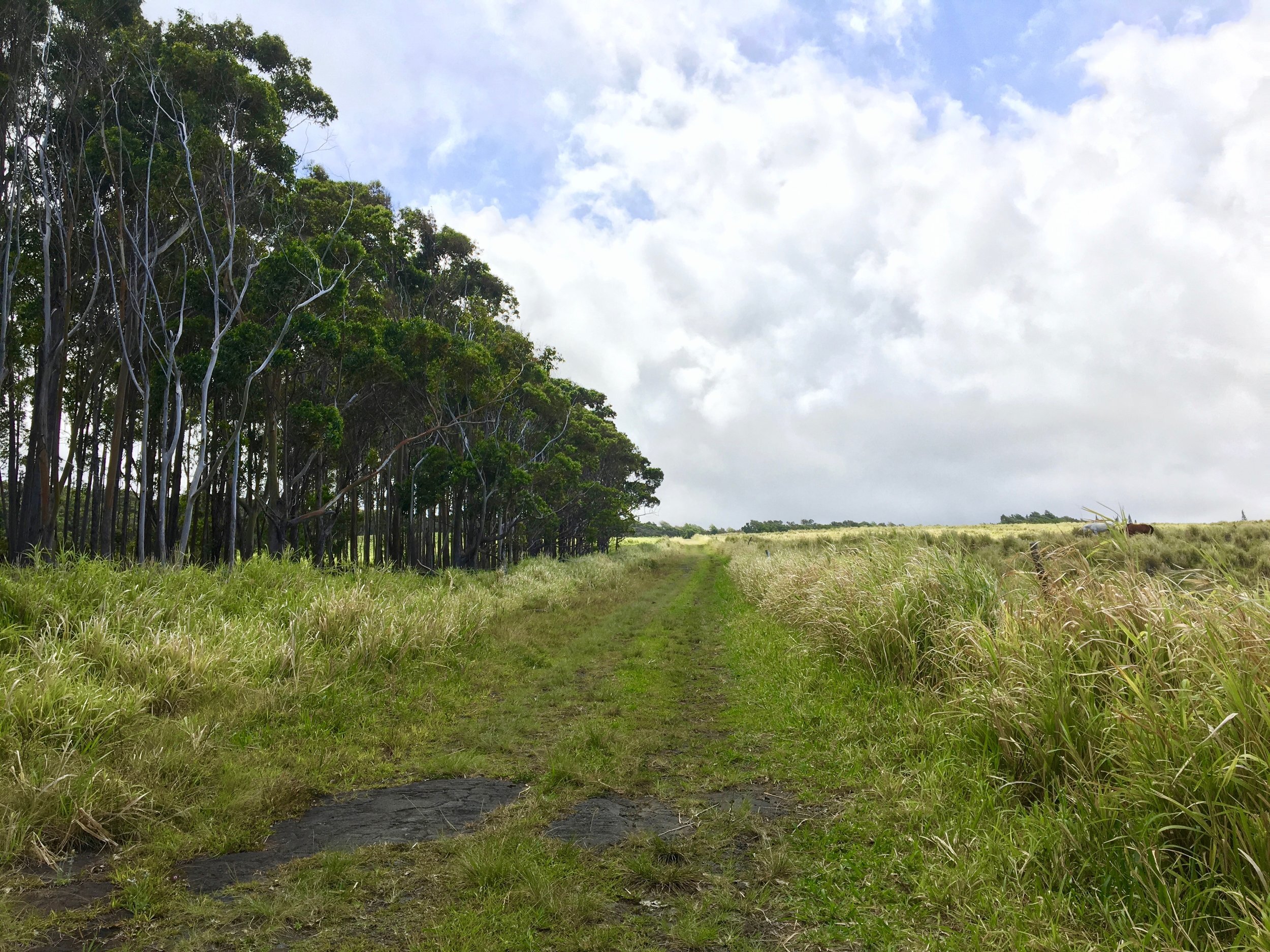
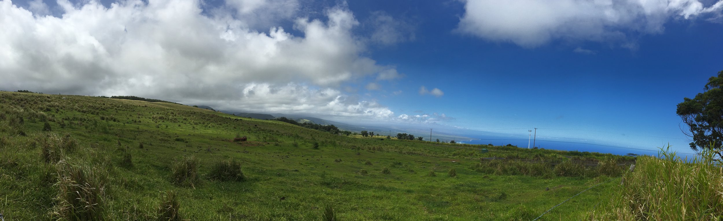
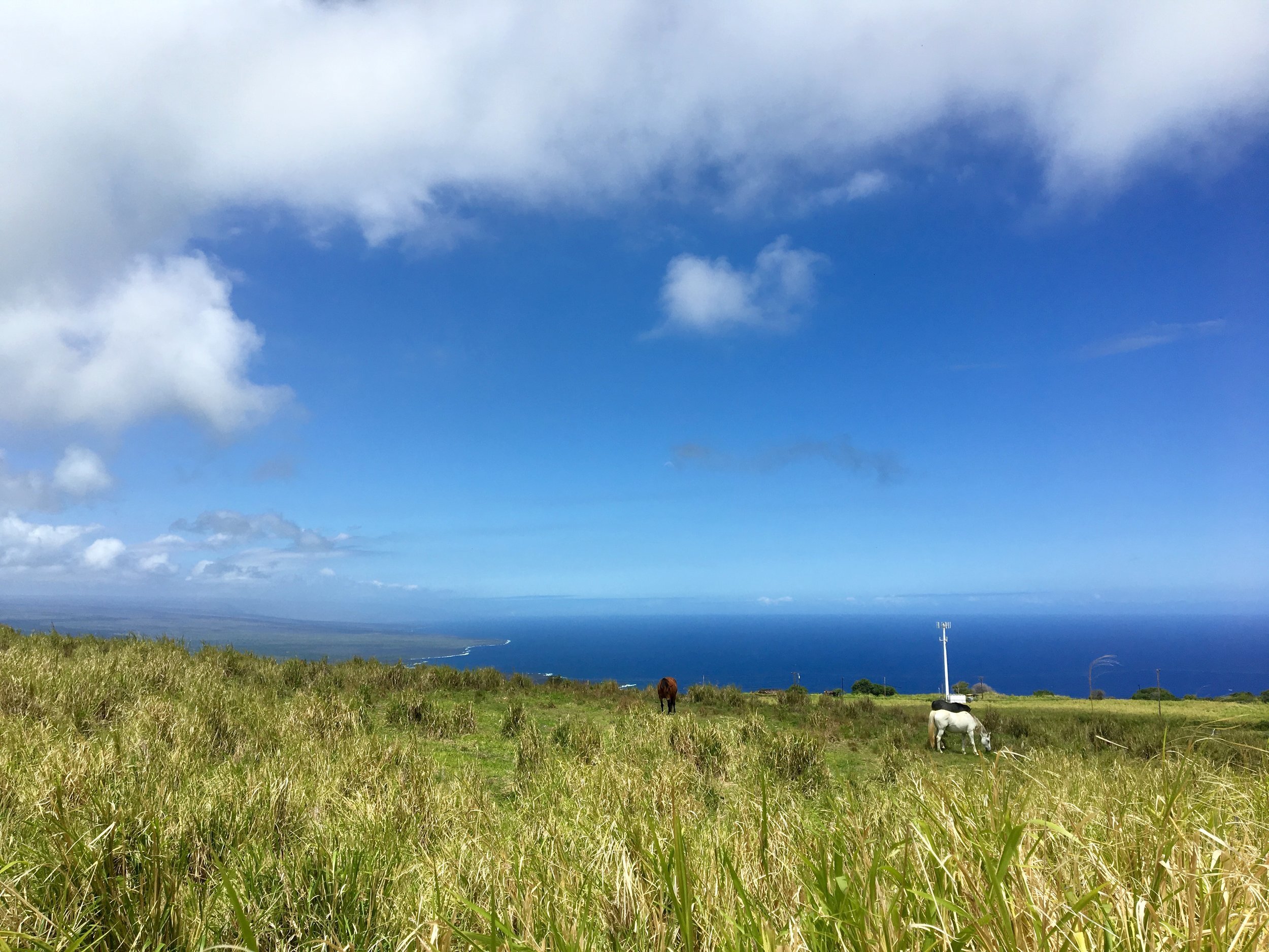
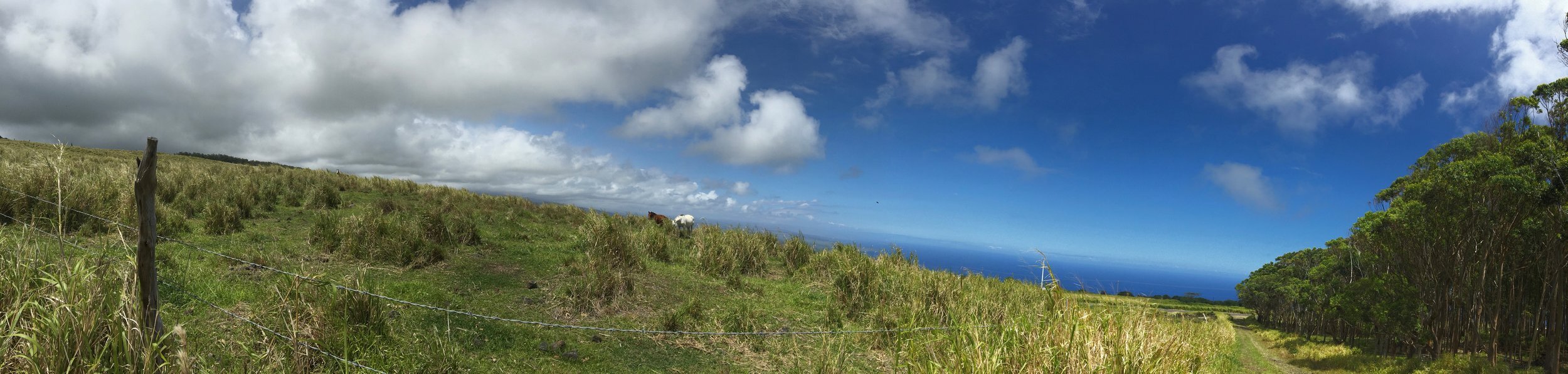
About Honu‘apo
Honu‘apo was one of seven major landing sites along the Ka‘ū coast for early Hawaiian voyagers and is well known for its fishpond estuary and village. Hawaiians previously farmed dryland kalo (taro) and ‘uala (sweet potato) in the lower areas. Located between 1,350 and 2,400 feet in elevation, it is classified as ‘Ōhi‘a Lowland Wet Forest. ‘Ōhi‘a (Metrosideros), uluhe (Dicranopteris), māmaki (Pipturus albidus), kōpiko (Psychotria mariniana), hāpu‘u pulu (Cibotium glaucum) and maile (Alyxia oliviformis), among others, are just some of the plant species located in the area.
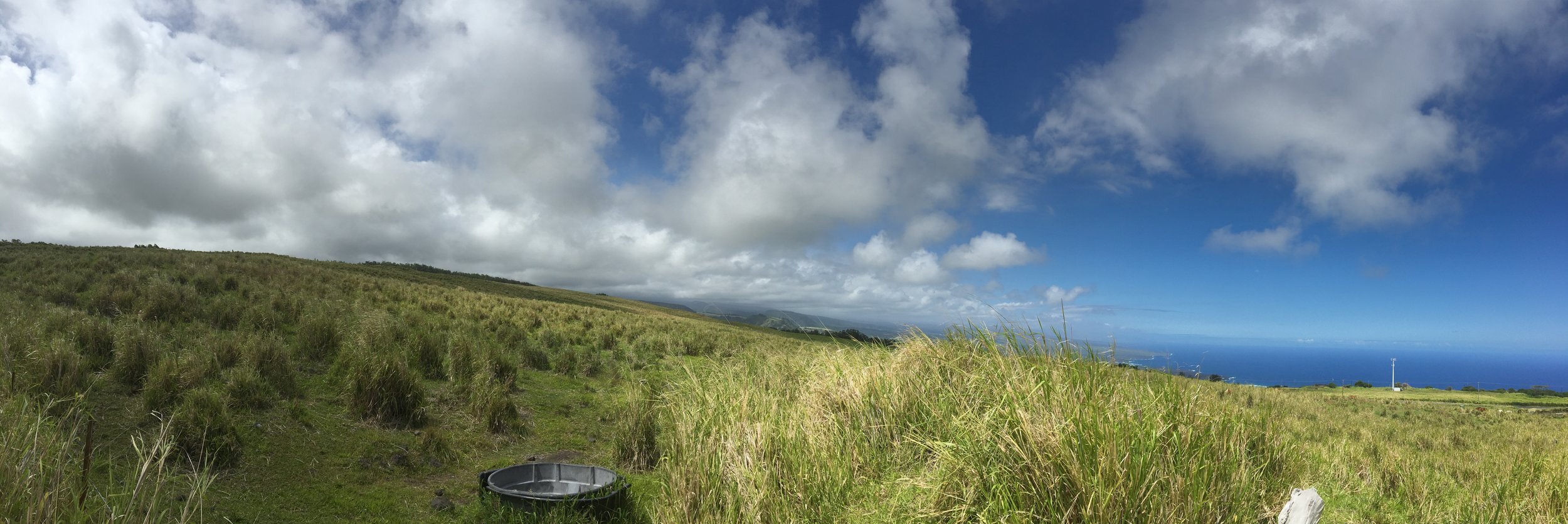
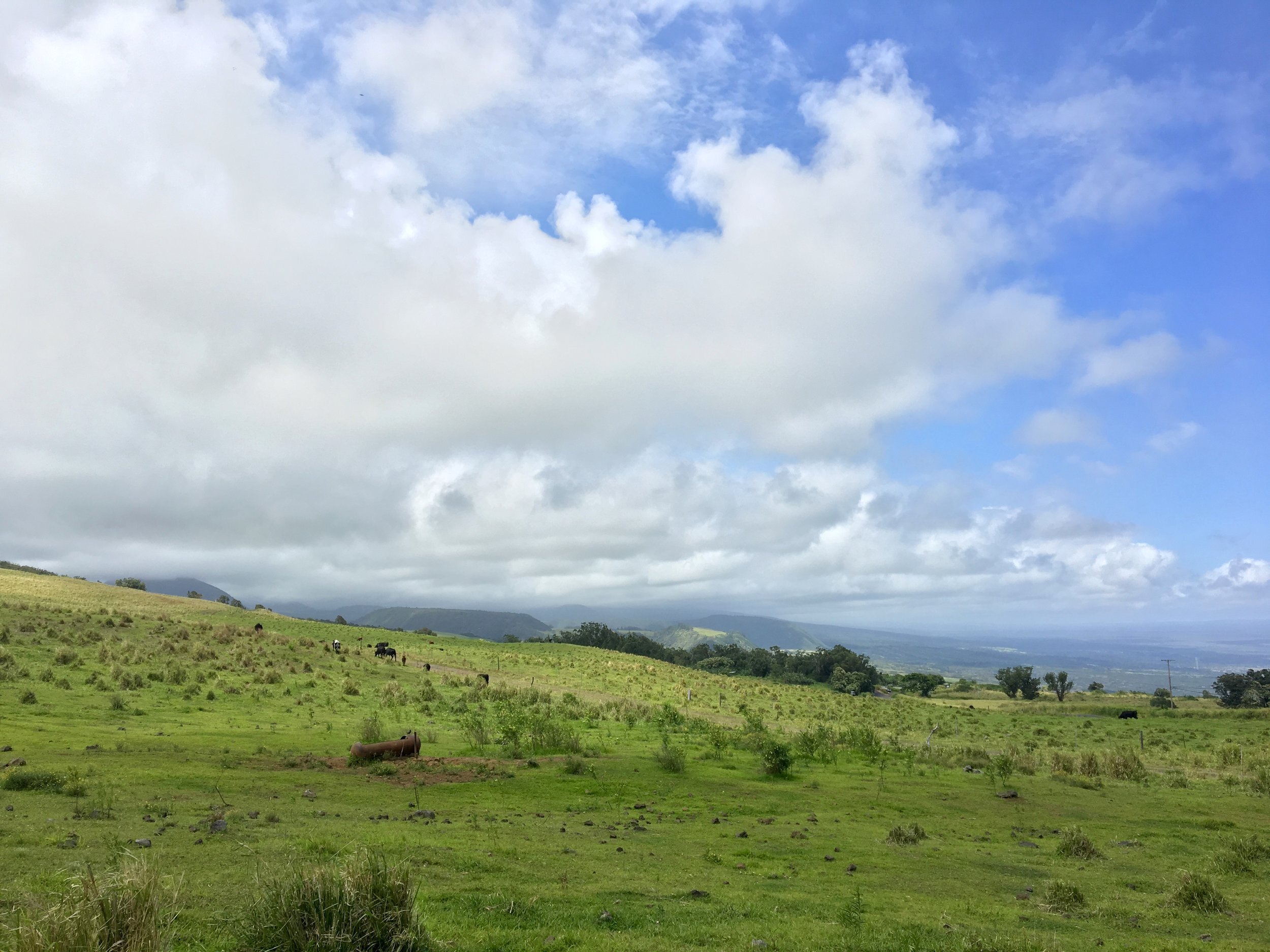
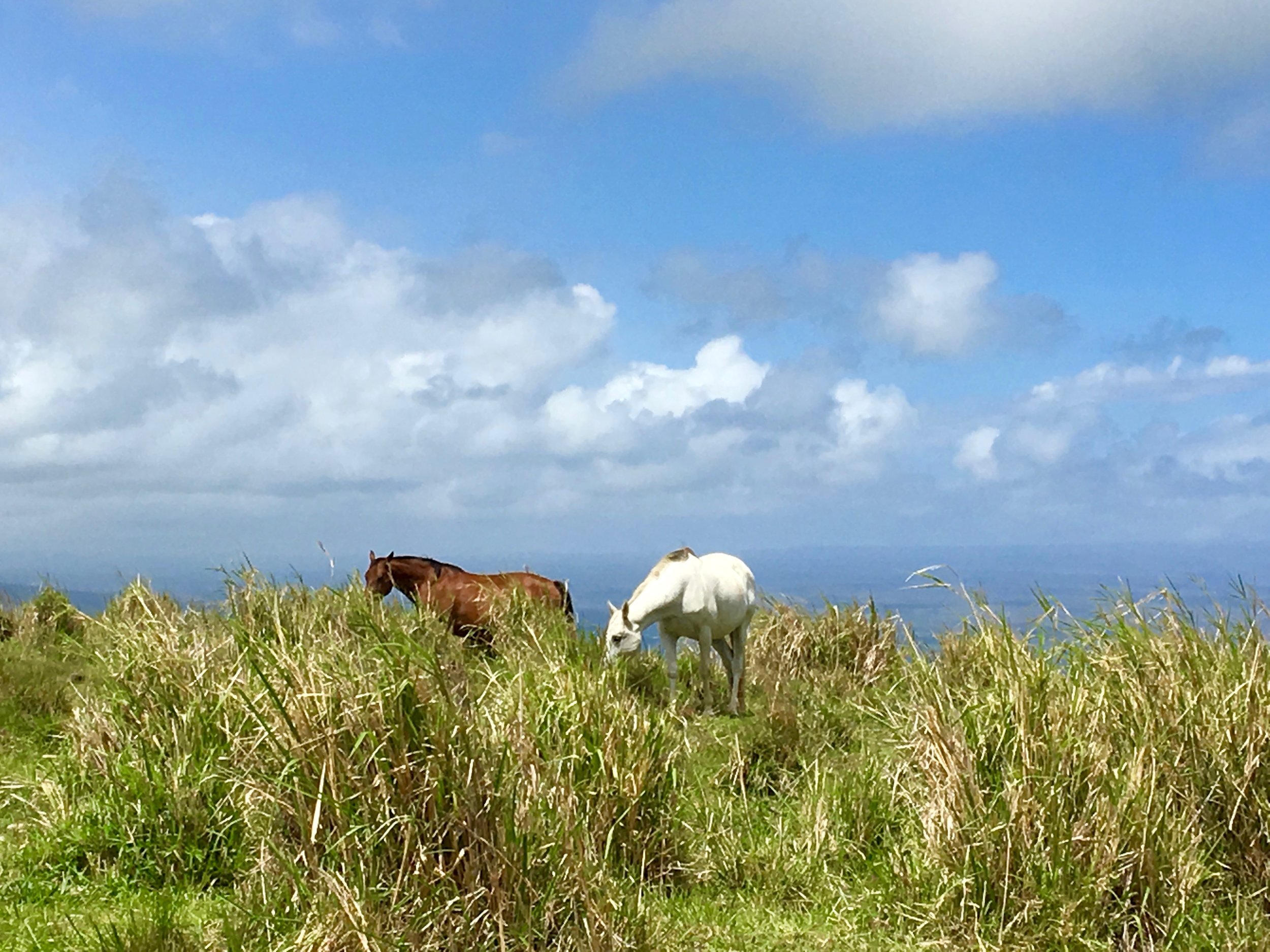
‘Io (Hawaiian hawk), ‘Ākepa (Hawaiian honeycreeper), ‘Akiapōlā‘au (Hawaiian honeycreeper), and ‘Ōpe‘ape‘a (Hawaiian hoary bat) are known to inhabit near this easement. Sweeping, panoramic views of the Ka‘ū coastline and uplands are visible.